A rare combination of two major ocean climate patterns is drawing the attention of meteorologists this year. According to an analysis by Severe Weather Europe, a rare Atlantic Niña developing in the tropical Atlantic is coinciding with a strengthening Super El Niño in the Pacific Ocean. While these two events occur in different oceans, forecasters suggest they may work together to create atmospheric conditions that suppress hurricane formation in the Atlantic, potentially reducing the risk of hurricanes making landfall in the United States. However, experts caution that a quieter season does not mean hurricanes cannot occur.
What are Atlantic Niña and Super El Niño?
Most people are familiar with El Niño, a climate pattern caused by unusually warm sea surface temperatures in the central and eastern tropical Pacific Ocean. A strong El Niño can influence weather around the world, affecting rainfall, temperatures, droughts and tropical cyclone activity.A Super El Niño is an exceptionally intense El Niño event, marked by very high sea surface temperature anomalies in the Pacific. Such events have historically been associated with major disruptions to global weather, including increased flooding in some regions, drought in others and higher global temperatures. Although “Super El Niño” is not an official scientific classification, it is commonly used to describe exceptionally strong El Niño events.An Atlantic Niña, on the other hand, is much less common. It occurs when sea surface temperatures in the equatorial Atlantic become cooler than average. According to Severe Weather Europe, if current cooling persists through the season, the 2026 event could become only the sixth strong summer Atlantic Niña recorded in more than four decades of observations.
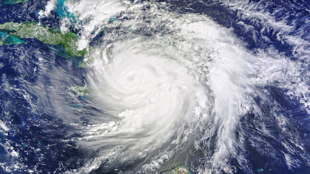
Image Credit: Canva
How do these two climate patterns affect hurricanes?
Although one phenomenon involves unusually warm waters and the other unusually cool waters, both appear to influence the atmosphere in ways that make hurricane development more difficult over the tropical Atlantic.One of the biggest reasons is increased vertical wind shear, a change in wind speed or direction with height. Hurricanes thrive when winds remain relatively uniform from the ocean surface to higher levels of the atmosphere. Strong wind shear disrupts the organisation of tropical storms, preventing them from strengthening into powerful hurricanes.In addition, the combined influence of Atlantic Niña and El Niño may contribute to:
- Higher atmospheric pressure over parts of the tropical Atlantic.
- More sinking air, which suppresses thunderstorm formation.
- Drier air in the middle levels of the atmosphere, reducing the moisture tropical systems need to intensify.
Together, these conditions create an “atmospheric shield” against Atlantic hurricane development.
Why the risk is lower, but not gone
A suppressed hurricane season does not mean that coastal areas are safe from tropical storms. Weather experts emphasise that it takes only one hurricane making landfall in a populated region to cause catastrophic damage.Historical hurricane seasons have shown that relatively quiet years can still produce devastating storms. The total number of hurricanes is only one measure of seasonal activity; where storms develop, how quickly they intensify and where they eventually move are equally important.Meteorologists therefore stress that residents in hurricane-prone regions should continue preparing as normal despite forecasts suggesting reduced overall activity. Seasonal outlooks describe average atmospheric conditions rather than predicting the path of individual storms months in advance.
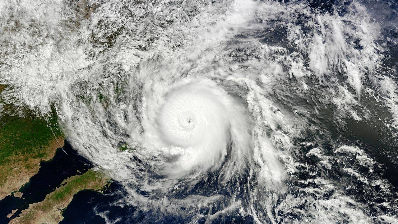
Image Credit: Canva
Could this influence winter weather too?
Scientists are also closely watching these ocean patterns because their effects often extend beyond hurricane season. Strong El Niño events are known to reshape global atmospheric circulation, altering jet stream patterns and influencing winter weather across North America, Europe and parts of Asia.According to Severe Weather Europe, the interaction between Atlantic Niña and a developing Super El Niño may provide early clues about the 2026-27 winter, including possible changes in the jet stream and even the behaviour of the Polar Vortex. However, these long-range outlooks remain uncertain and will depend on how both ocean patterns evolve over the coming months.
Why scientists are monitoring this closely
Ocean temperatures act as one of the Earth’s most important climate regulators, influencing atmospheric circulation across continents. When multiple ocean climate patterns occur simultaneously, their combined effects can sometimes amplify or offset one another in unexpected ways.The rare occurrence of an Atlantic Niña alongside a strong Super El Niño gives scientists a unique opportunity to better understand how climate patterns in different ocean basins interact to influence global weather.Even though current forecasts suggest lower Atlantic hurricane activity, scientists highlight the importance of preparing for them. Weather patterns during the season might lower the chances of hurricane formation, but they cannot eliminate the risk of storms reaching the coast.